| PROPERTY DETAILS |
|
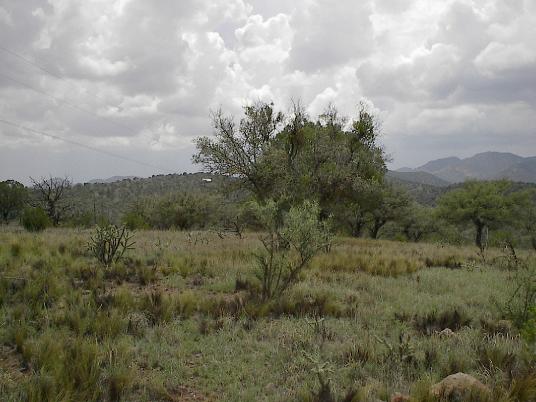
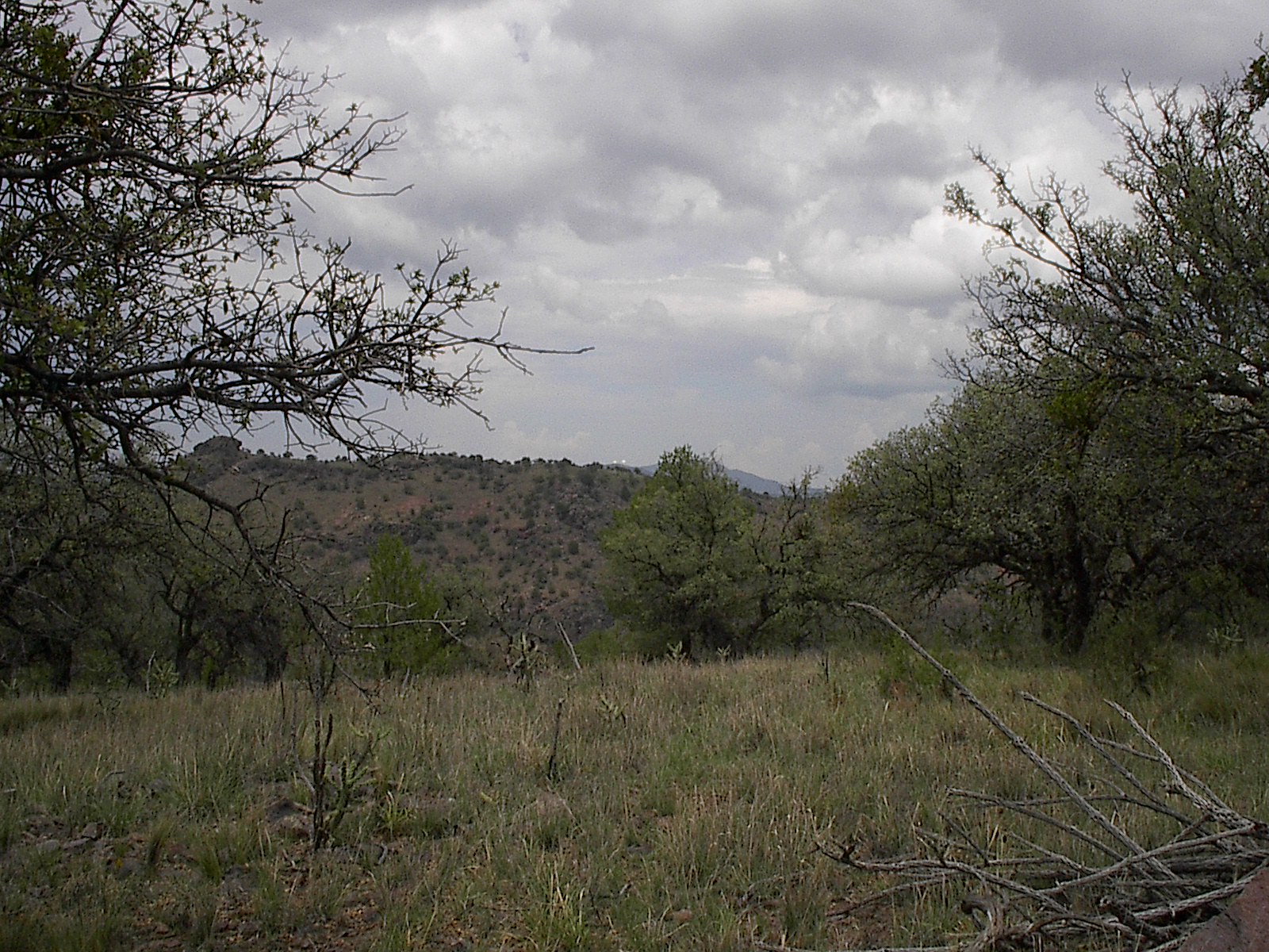
| 5 Acres along crest of 6,000(+) ft ridge, property extends halfway down northern slope. Nice campfire area a few yards to the west of buildings. |
| 14 ft hail damaged travel trailer |
| 10 x 10ft hail damaged storage building |
| 27 ft hail damaged Airstream trailer. Broken into, Needs cleanup. |
| Located on High Lonesome Trail, Near eastern Cul de Sac, no through traffic! Rocky road with 3 sharp switchbacks. |
| Several Large Homes nearby |
| Many good possible sites for building |
| Scenic views, Mt. Livermore, McDonald Observatory |
| Breathtakingly clear night skies. Observatory quality |
| Electricity on property |
| Yearly maintenance fee (roads & fire dept.) approximately $100 annually |
| Restrictions: No Hunting. Outdoor lighting must not interfere with McDonald Observatory |
| Campfires may be prohibited during burn-ban periods |
| No water on property. Recommend taking supply if staying overnight. |
| -- |
| GPS COORDINATES: (Use GOOGLE EARTH(tm) to find aerial view) |
| Lat- N - 30deg, 35', 56.31" |
| Long- W - 104deg, 04', 00.12" |
| (There are now a few picture points of DMR on Google Earth) |
| -- |
| Directions: When you reach the entrance to the resort
look for cross trails turnoff, and turn right. Turn left when you reach Thompson Trail. Turn right
on Saddlebag Trail. When you reach High Lonesome Trail, turn
right, follow it across dry creek bed, then up several switch
backs to Farview Point.(Requires 4 wheel drive during or after rain)
Continue on High Lonesome past large house with
3-car garage, past house with telescope observatory domes about one mile,
then up final hill. Property is on North side of road almost to the
Cul de Sac. Small trailer on left, demolished storage bldg on right.Airstream trailer in the middle.
all are now hail damaged from last year storm. Airstream now messy but with some elbow grease, may be restorable and does not leak!.-- Property markers
are now covered by grading, but East boundary is a few feet East
of power pole. West boundary is close to the dead cedar tree down-hill near
campfire area. |